Size and Depth
Minimum pool elevation is 631 feet above mean sea level (msl) (21,880 acres), normal pool elevation is 651 feet msl (27,700 acres) and maximum flood control pool is 663 feet msl (30,990 acres). Water fluctuations of 10 to 20 feet can occur throughout the year. The U.S. Army Corps of Engineers controls the water levels.
Shoreline
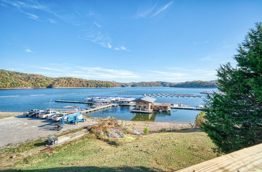
The entire shoreline is under the jurisdiction of the U. S. Army Corps of Engineers. The length is 620 miles at normal summer pool. Most of the shoreline is heavily wooded, and rock outcroppings are common. Development is restricted to marinas and day-use areas.”
Bottom
Broken rock, boulders, gravel and sand are the primary bottom materials. Extensive areas of bedrock outcroppings are found along the shoreline.
Water
Water clarity varies throughout the lake, ranging from extremely clear by the dam to light green in the creek arms. Summer secchi disc readings average between 18 and 20 feet. Dale Hollow is fairly infertile, and there is adequate dissolved oxygen throughout the water column. The remote location and lack of development keeps the water quality quite high.
Cover
Primarily submergent varieties, which include chara (sandgrass), coontail and several varieties of pondweed. Due to the clear water, it is not uncommon to find weed growth at the 30-foot level. Recently, Eurasian water milfoil has made an appearance in limited areas. The steep drop-offs and winter drawdown limit the development of emergent and floating vegetation.